Randwick honours 52 women lost to violence in annual vigil
Randwick’s annual vigil on 6 May honoured 52 women lost to domestic violence yearly, with red roses laid at the permanent memorial established in 2022.


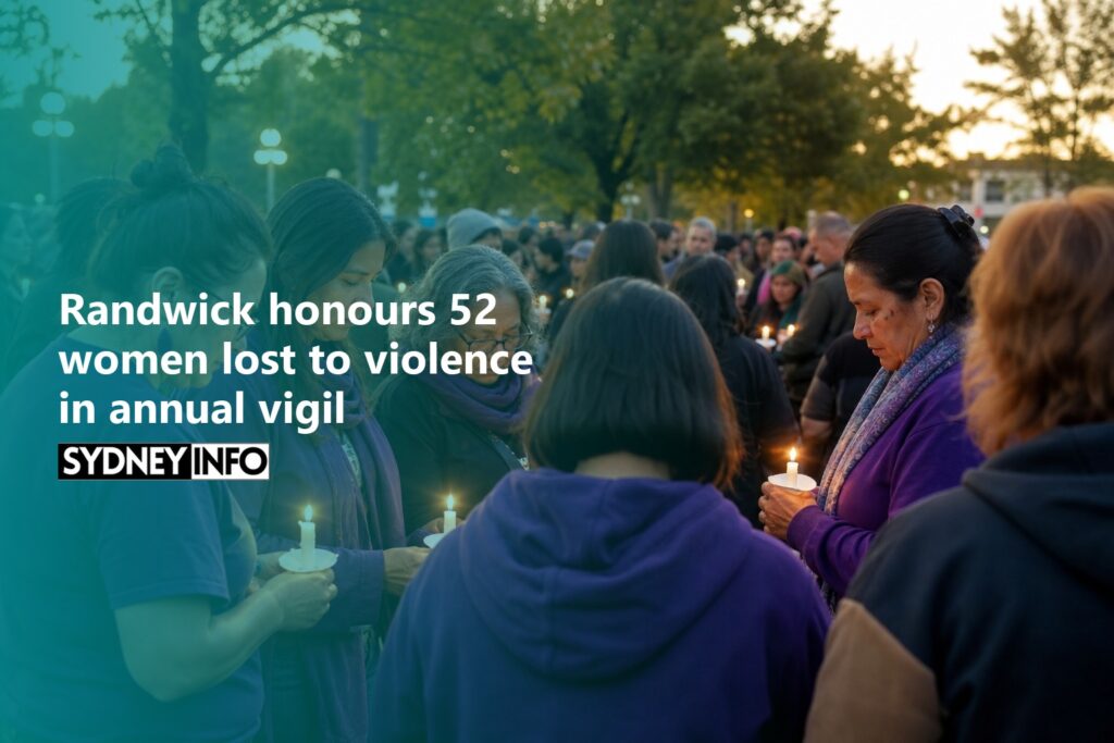
Randwick’s annual vigil on 6 May honoured 52 women lost to domestic violence yearly, with red roses laid at the permanent memorial established in 2022.

Jack Johnson performs with Ben Harper and John Butler for the first time at The Domain on 14 November 2026, with Emily Wurramara joining the Sydney show exclusively.

Wonnarua sisters create Australia’s first Indigenous-led D&D experience at Vivid 2026, using UTS Data Arena’s 360-degree technology for Country-based storytelling adventures.
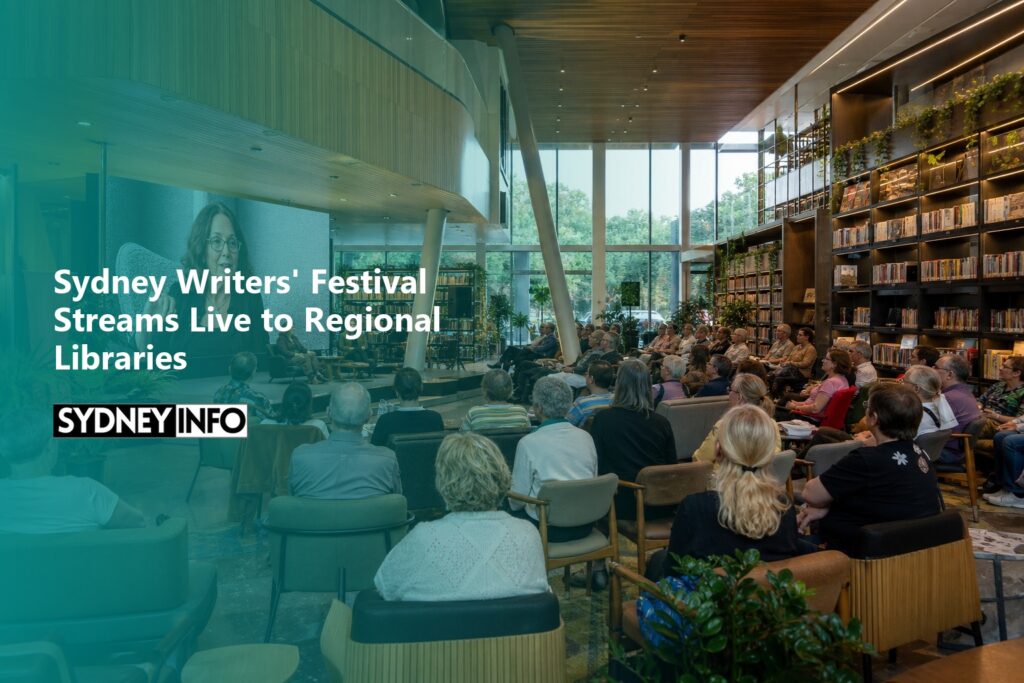
Sydney Writers’ Festival streams live to regional libraries May 21-23, featuring Stephanie Alexander and 55+ free events connecting literary audiences nationwide.
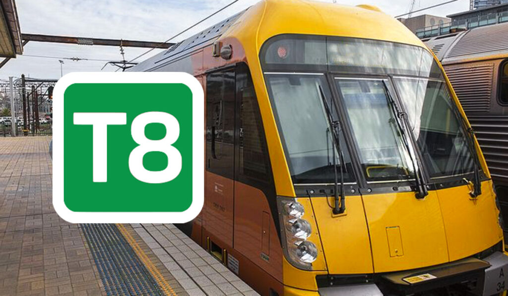
The T8 is the line most visitors to Sydney will use at least once, as it’s the Airport Link, connecting both the Domestic and International terminals directly to the City Circle. It also continues south through Wolli Creek, Hurstville, and Sutherland to Campbelltown and Macarthur, serving one of Sydney’s most populous southern corridors. Know about […]
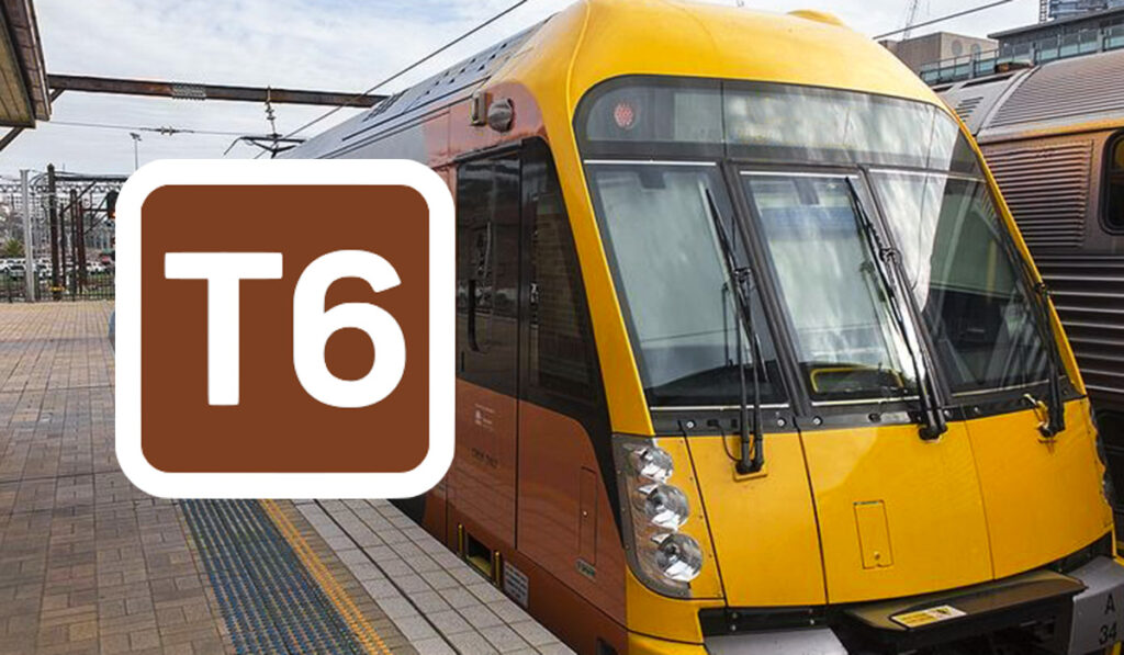
The T6 is the quietest line on the Sydney Trains network, basically, a short shuttle between Lidcombe and Bankstown that serves one of the most culturally diverse corridors in the city. Eleven stations, a 25-minute end-to-end run, and a genuine window into the South Asian, Chinese, Arabic, and Vietnamese communities that define suburban Sydney west […]
The T5 Cumberland is Western Sydney’s lateral connector and the line that links the south-west suburbs to Parramatta and the north-west without requiring a detour through the CBD. It runs between Leppington and Schofields via Merrylands, Parramatta, and Blacktown, and it’s the reason that a worker in Glenfield can reach Parramatta without first going east […]
The T4 is the line tourists use most and know least about. It connects the CBD to Bondi Junction, your gateway to Bondi Beach, and runs south through Kings Cross, Edgecliff, and the inner-eastern suburbs before splitting toward Cronulla and Waterfall. For beach access, inner-city nightlife, and the southern beaches corridor, T4 is the train. […]
The T3 runs from Liverpool in Sydney’s south-west through Regents Park, Berala, and Birrong before joining the Inner West corridor at Strathfield and looping through the City Circle. It’s a line that rewards the curious and while less prominent than the T1 or T4, but essential for reaching the western suburbs without changing trains at […]
The T1 is Sydney’s busiest suburban train line, a double-headed giant that runs from the Blue Mountains and Richmond in the west, through Parramatta and the CBD, then crosses the Harbour Bridge to the North Shore and all the way to Berowra. Two routes, one number, and Sydney’s most spectacular commute stitched together at Town […]
The T7 is Sydney’s event shuttle, a single dedicated spur line from Lidcombe to Sydney Olympic Park, built for the 2000 Olympics and still the fastest way to reach the Park for concerts, AFL matches, football, athletics, and the dozens of events that fill the Qudos Bank Arena and CommBank Stadium calendar throughout the year. […]
The T9 is the North Shore’s second rail corridor that runs from Central through Strathfield, Epping, and Hornsby, then north to Berowra. It provides a vital alternative to the T1 for reaching the Upper North Shore and connects the Inner West corridor to the northern suburbs via a completely different inland route. For visitors, it’s […]
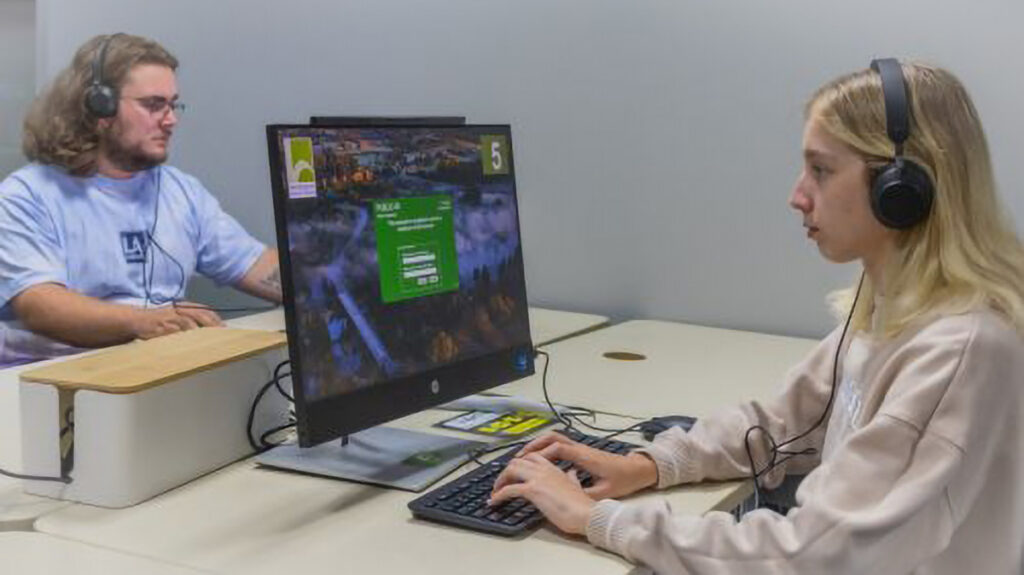
Hawkesbury Central Library has launched a new Technology Hub in Windsor, featuring a production studio and digitisation room for the community.
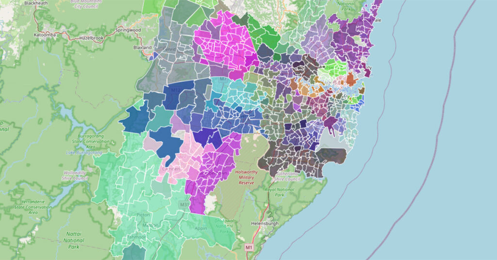
A complete reference to every suburb in Greater Sydney, organised by Municipality (Local Government Area), with boundary map and background info (Data Source: NSW GNR 2026). The list includes inner CBD and outer suburbs to get a full picture of Greater Sydney, from the well-known to the new growth areas. As part of our “Sydney […]
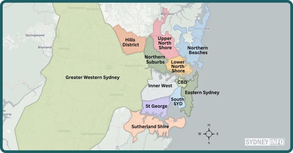
Ask ten Sydneysiders where they live and you’ll get ten different answers. The Eastern Suburbs. The Inner West. The Shire. Out west. The North Shore. None of these are official places. No council governs them. No map draws their edges with precision. But every local knows exactly what they mean. Sydney runs on two parallel […]

Sydney’s gleaming underground metro opened Stage 2 in August 2024, threading a quiet revolution beneath the harbour. Twenty-one stations. Services every four minutes at peak. And a ride so smooth you’ll rethink the bus forever. Stations 21 (Tallawong → Sydenham) Peak Frequency Every 4 minutes Payment Opal card / contactless Network Fully automated, driverless Line […]
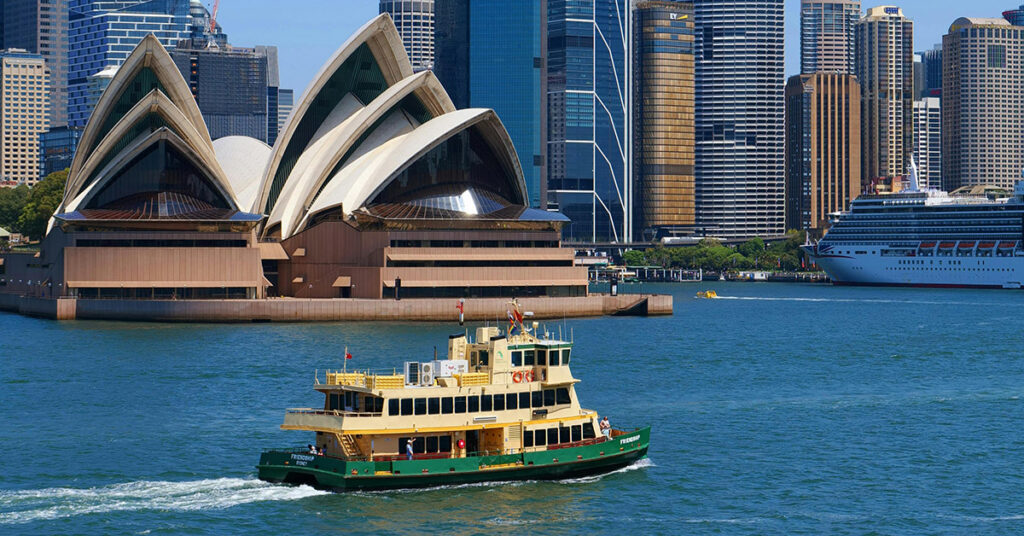
Sydney’s ferry network has been threading across the harbour since 1789. Ten routes. Thirty-nine vessels. Views of the Opera House and Harbour Bridge that no train window will ever match. This is truly one of the world’s most charismatic public transport services, rivalling that of Hong Kong’s Star Ferry. Routes 10 (F1–F10) Fleet 39 vessels, […]
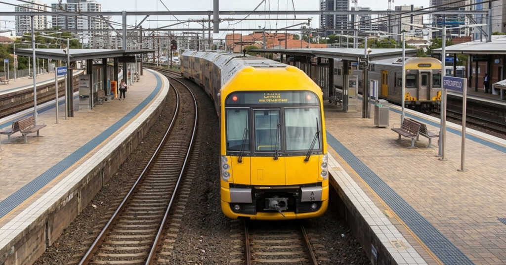
Here’s your one-page guide to exploring Sydney by train, and uncovering the amazingly enjoyable routes it offers, beyond the practical commute. It’s Australia’s most-used rail network at 270 million passenger journeys a year across nine suburban lines, a cluster of iconic CBD stations, and intercity routes that stretch from Newcastle to the Blue Mountains to […]

Sydney’s light rail network runs 48.8 kilometres of track across the inner city, south-east suburbs, and western Sydney, hauling over 110,000 passengers a day to the places buses simply can’t serve fast enough. Here’s everything you need to ride it like a local. Lines L1, L2, L3, L4 Stops 58 across the network Payment Opal […]
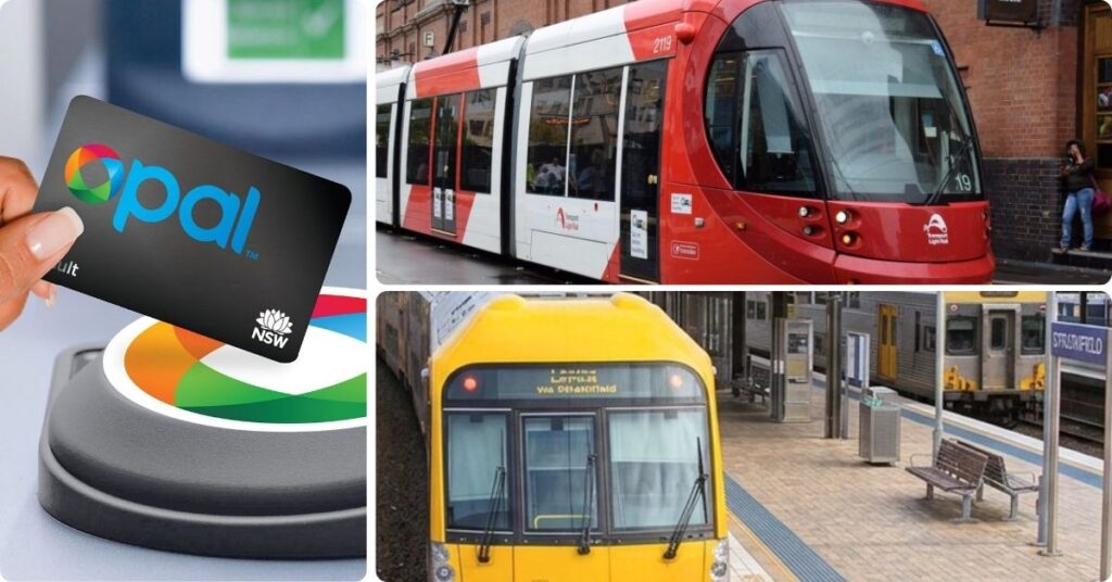
At first glance, using Sydney’s transport system may seem very complicated, but actually, in recent times it has become much simpler to get anywhere, and I’m going to explain it all for you. Sydney has one of the most complete public transport networks in the Southern Hemisphere. Nine train lines, a driverless Metro, three light […]